Flying Field
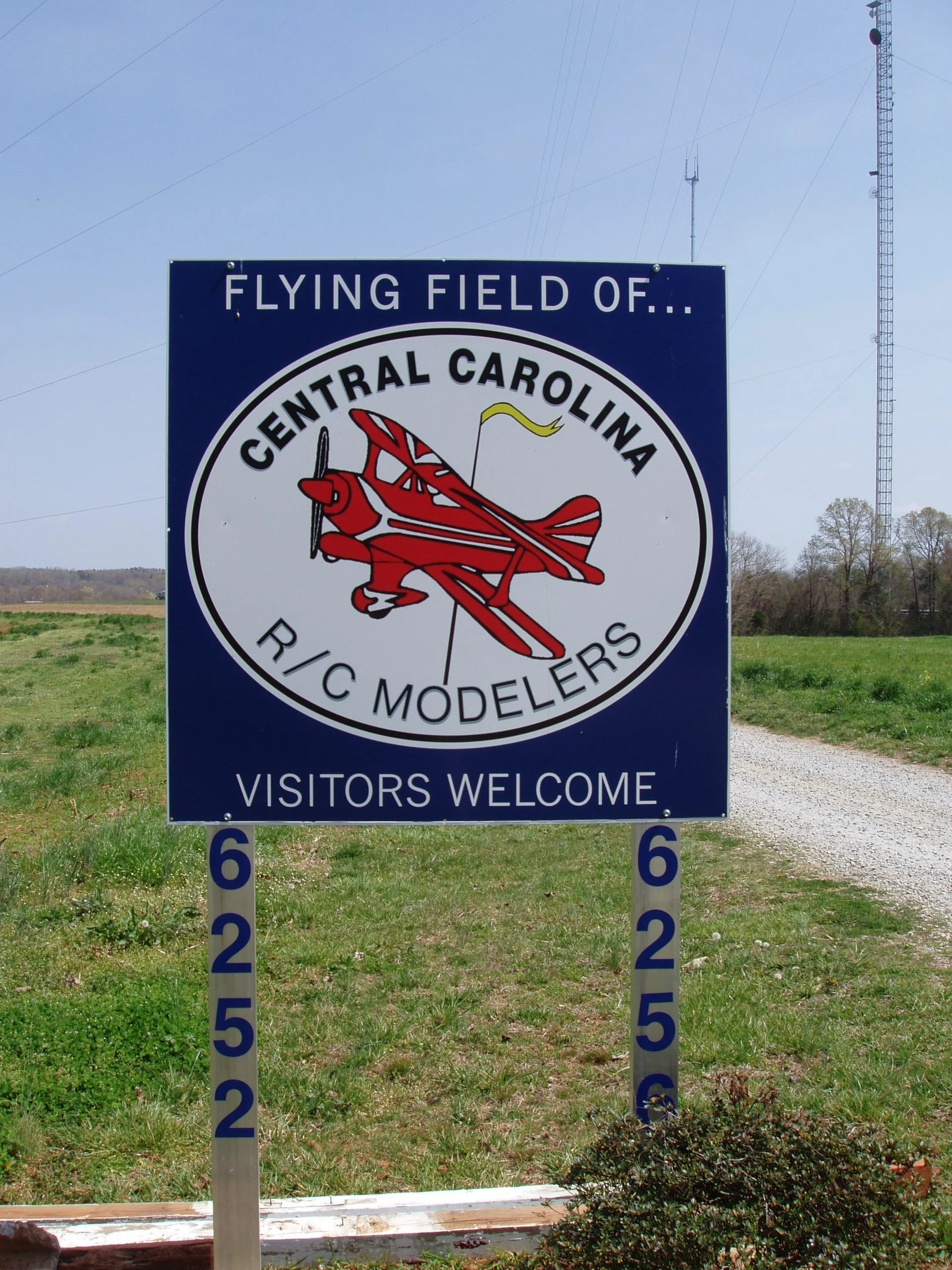
Take I-74 to Cedar Square Road {Exit 79}. [If you are traveling South, turn left and cross the bridge. If you are traveling North, turn right on to Cedar Square Road.] Travel 2.5 miles to Davis Country Road. Turn right and go 1.9 miles. You will see our sign on the left. Travel down the gravel road. You will emerge at our Helicopter field. Proceed down the road to the main Clubhouse.
From High Point, take 311 South past Archdale to Cedar Square Road. Turn Left and go 2.3 miles to Davis Country Road. Turn right and go 1.9 miles. You will see our sign on the left. Travel down the gravel road.
From Greensboro, take 220 South to Highway 62 {Exit 89}. Turn right. Go .9 miles to Coltrane Mill Road and turn left. Go 3 miles to Davis Country Road and turn left. Go 1.9 miles. You will see our sign on the left. Travel down the gravel road.
Address: (Google Maps) 6252 Davis Country Road, Randleman, NC, 27317
GPS Coordinates are: 35* 52’ 16.8594”, -79* 50’ 35.5554”
Join us on Facebook

Club Officials:
President: David Johnson
Vice-President: Robert Still
Secretary: Mike Rutchka
Treasurer: Nancetta Brinson
Safety Officer: Joe Walton
Board: Tim Holland
Ronnie Garris
Anthony Rich
Comments, complaints, questions? ccrcmflyer@gmail.com
Club Member and AMA District IV Vice President: Jay Marsh